|
|
|
|
|
|
|
|
|
Colorado Trail MTB Bike Tour
Day 17 - Spring Creek Pass, Coney Summit to Rio Grande Reservoir
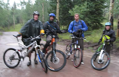
August 6, 2006. With the addition of Dale to our crew, we were all pretty stoked. He'd brought his van, and was going to ride part of the day with us today, then head back down and drive the truck to the other end to pick us up. It was a good plan, and it meant Phil could do the ride with us today.
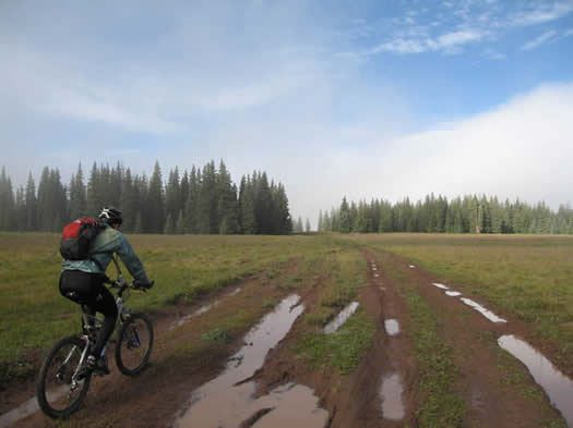
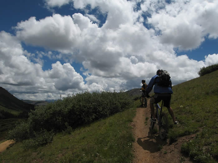
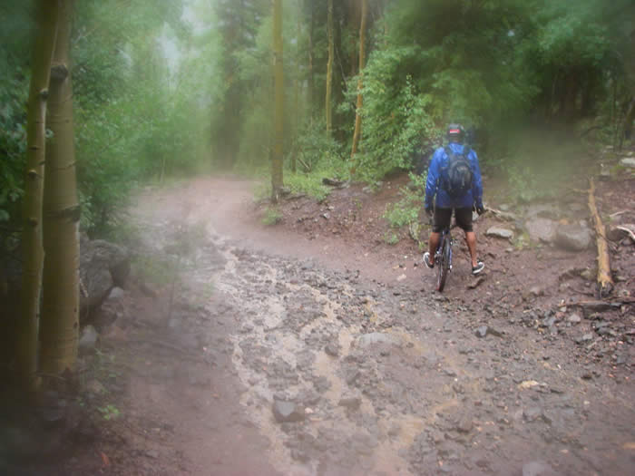
We were up and about a little later this morning, since we weren't packing up camp before riding. The trailhead at Spring Creek Pass was about a twenty minute drive up the hill from our campground at Slumgullion campground. When we arrived, we were in the clouds, surrounded by an eerie fog, and it was cold. The camp was at 10,700'+, and the trailhead is about the same elevation. It had been a cold night, with rain for most of the night, but we had been able to get breakfast together without rain.
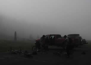
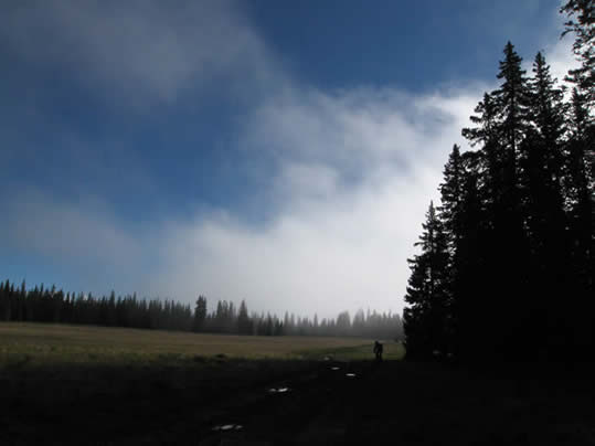
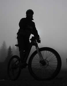 Being in the fog and clouds, we couldn't really see what the weather was doing or looking like; all we knew was that it was really cold. Bundled up, it was a good 1.5 miles of climbing before we broke out of the fog into the sunshine. We could see clouds all around, but for the time being, they were white and building. It didn't look like rain for a while.
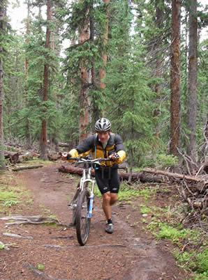
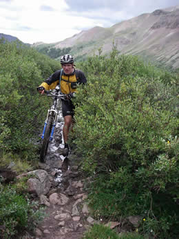
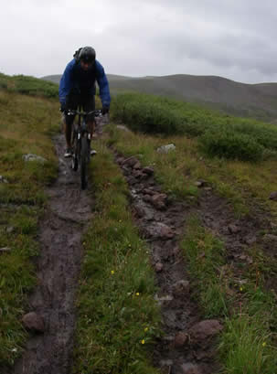
The trail for the first 1.5 miles had been muddy jeep road, with a few slippery rocky sections. Dale had an uphill crash on the slippery rocks, but was fine. He was feeling the altitude since he just arrived the day before.
Phil and Ed climbed on ahead along the jeep trail, and missed the single-track turn-off. They continued on a good half mile, and since neither had radios, Steve and Hans had to chase them down. They rode up calling for them, and eventually got a reply. A little unnecessary extra credit that cost us about a half hour.
We made it back to the main trail, and started the rocky climb.
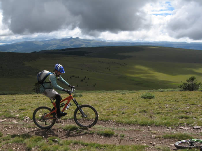
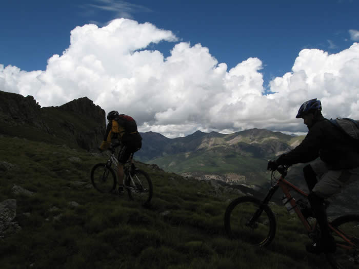
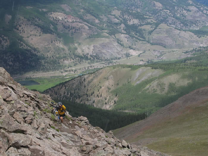
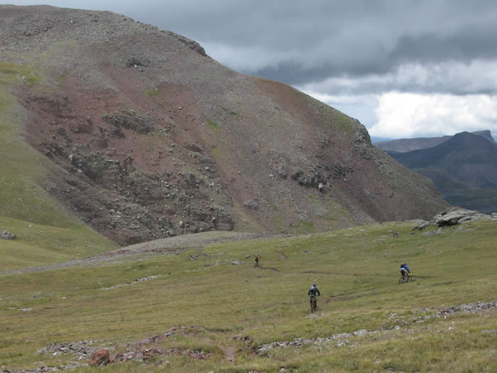
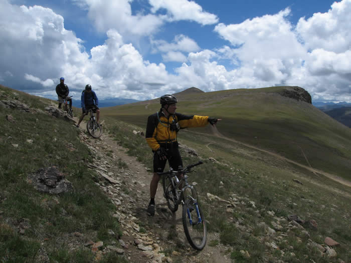
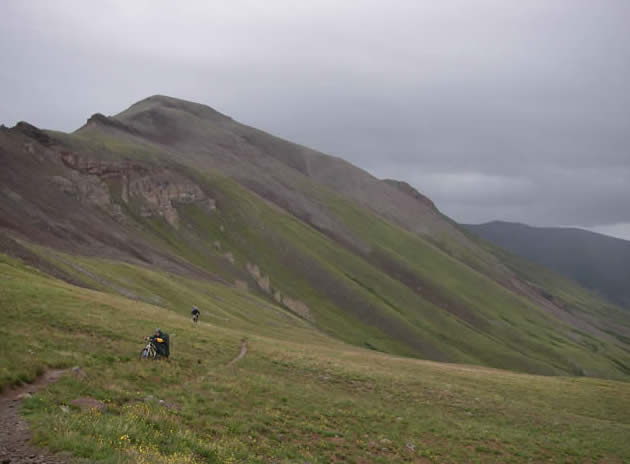
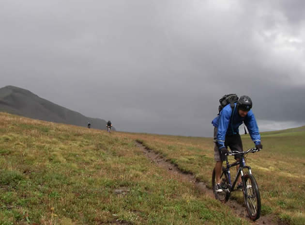
Now back on the right trail, we climbed steadily up a bumpy single track. We passed through a grove of trees, and the trail took a turn to the left, opening out into a wide rocky swath of rock and tundra on which there was no trail. There was just a series of rock cairns and trail markers 300 yards apart. Steve and Ed were able to ride much of it, but Phil on his hardtail was having trouble, and Hans, still riding a duct-tape and zip-tie fixed rear shock, wanted to go easy on his bike.
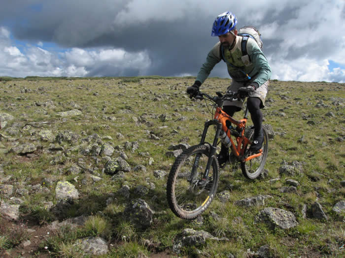
 We made the 12,000' mark at about 4.5 miles, and the markers continued along the gentle grade into the distance and up to the horizon line ahead. Dale decided that was good enough for him, and he would turn back to drive Ed's truck the shuttle vehicle around to Rio Grande Reservoir, where we planned to finish the ride.
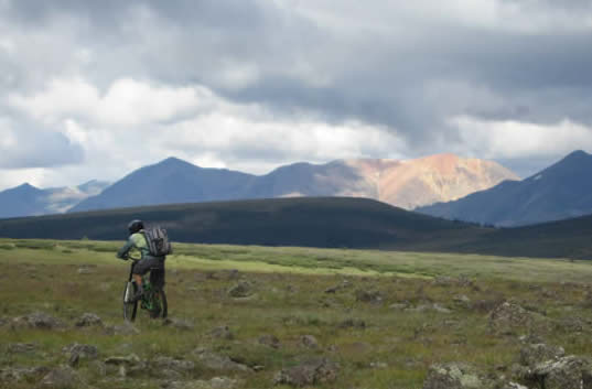
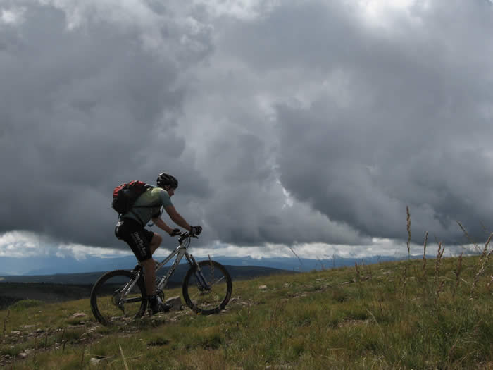
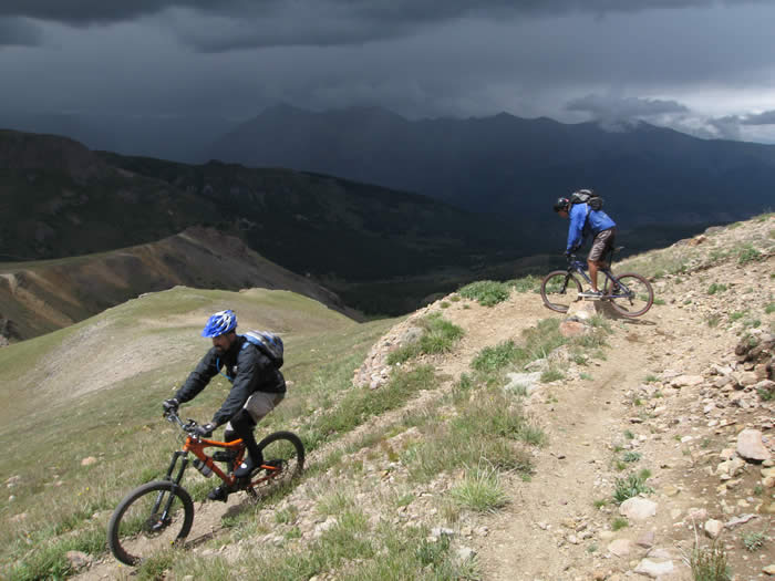
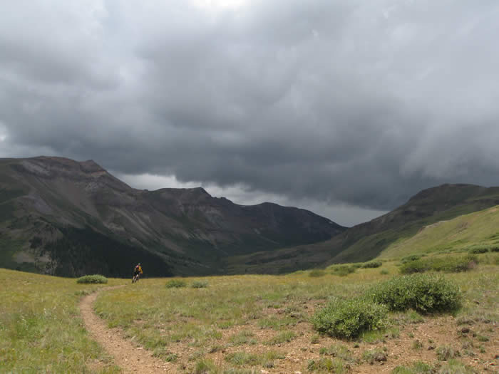
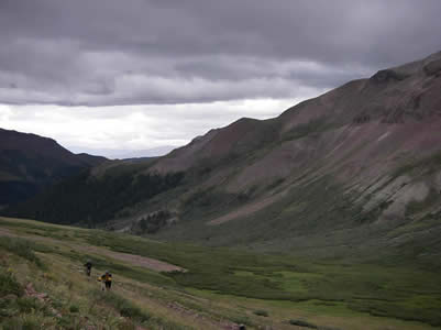
Phil, Steve, Ed and Hans continued on to the top of the ridge. The area was like the top of a mesa, all above tree line with low shrubs and wide open spaces. We could see the mountains all around, with spectacular clouds and rain building all around us.
Once we reached the top of the ridge and started to descend, the trail became a little more defined, though just as rocky. We continued on and the trail joined a double-track jeep trail.
The jeep trail went on for a few miles, and was all rideable. We were between 12,000 and 13,000' but able to ride. The grades were gentle enough that they could be climbed without too much difficulty. We were racking up the miles, but the clouds continued to build. The ceiling seemed to be getting ominously lower as well.
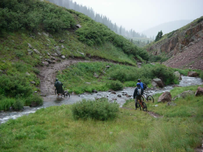
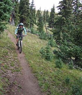 Eventually the trail descended back to tree line and into a pine forest. For about 1.5 miles we had super-fast, smooth single track winding it's way through the forest. It was great fun and a welcome relief. The trail cut back out to an open meadow and crossed a small valley, at the bottom of which there was a vehicle parked. There was also a marshy creek that didn't have any bridge. We crossed the slushy mud and grass, and began a single track climb up into a forest again.
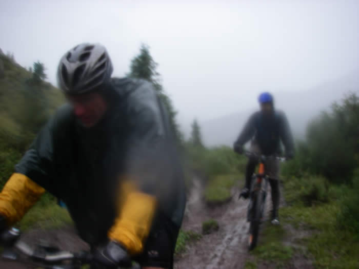
It started to rain, so we stopped to put on rain gear and prepare ourselves for the inevitable.
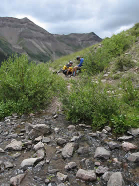
We climbed some way and came across a couple who were out doing trail work, building water diversions. They had been working to divert this particular spring for some time, as water would just seep out of the ground here. They warned us about lightning across the Coney Summit ridge and recommended we head south (to the left), off the trail and down to treeline if a storm develops. He said our intuition would probably have us go right, to the north, but this would be a bad choice, especially with bikes. He didn't explain why, but as the trail followed the southern edge of the ridge, it made sense when we got to the summit.
 The trail here was wet, muddy, and slippery, with lots of roots. Many short sections of the pine forest were too difficult to ride, but it was only about 1.5 miles to the open tundra and gentler grades again.
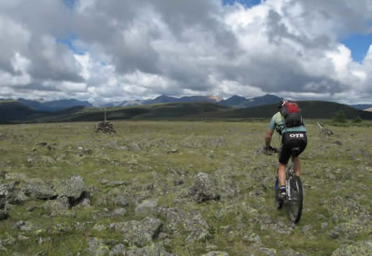
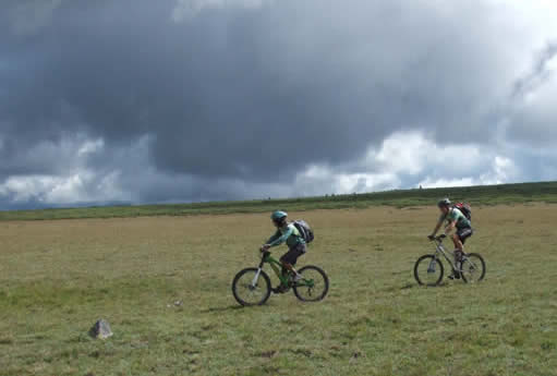
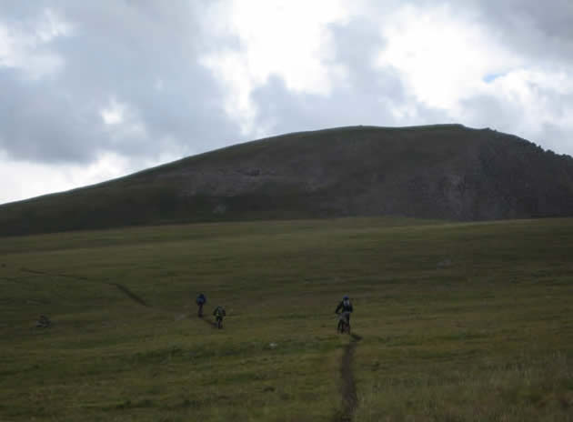
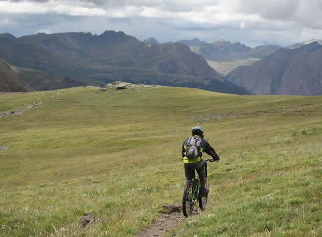
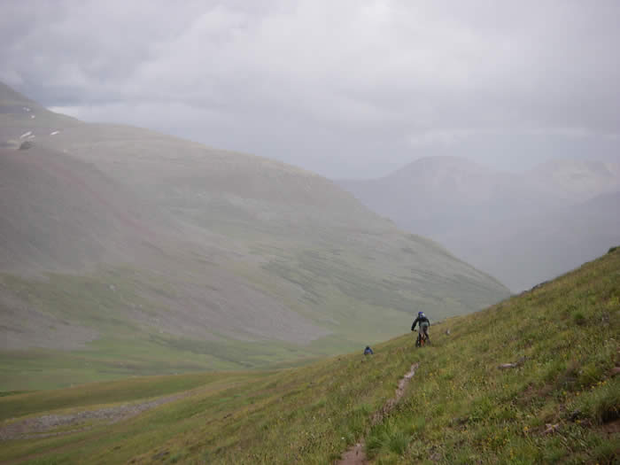
We eventually opened out into low scrub again, above treeline, and the trail became much easier. At times it was steep and rocky, but for the most part, it was rideable.
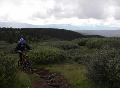
The trail leveled out and the landscape opened up from the low shrubs to more of a tundra, with low grasses and flowers. We were having a good time through this section, able to ride most of it as the grade was very forgiving. We were at about 12,500' and riding comfortably. The rain had eased off a bit and was now just a light sprinkle.
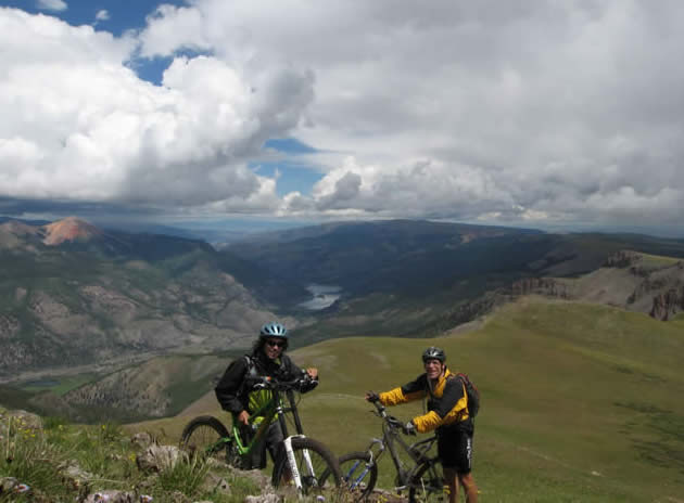
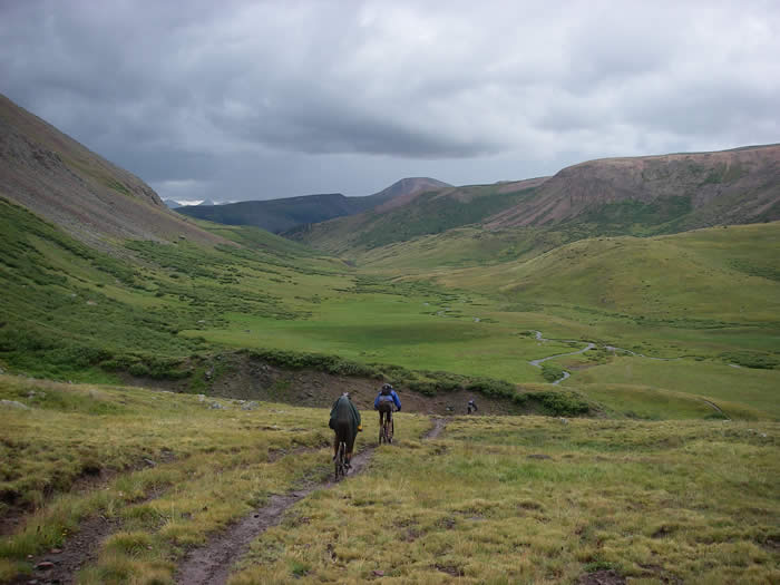
Soon the trail dropped down into a saddle, and approached the edge of the ridgeline. We got our first glimpses of the spectacular valley below and the San Cristobal lake. Mountain ranges rolled on into the distance as far as we could see to the north and to the south.
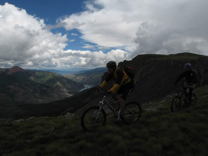
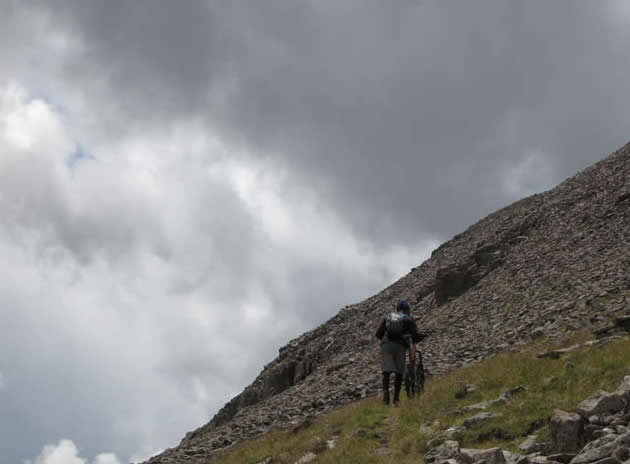
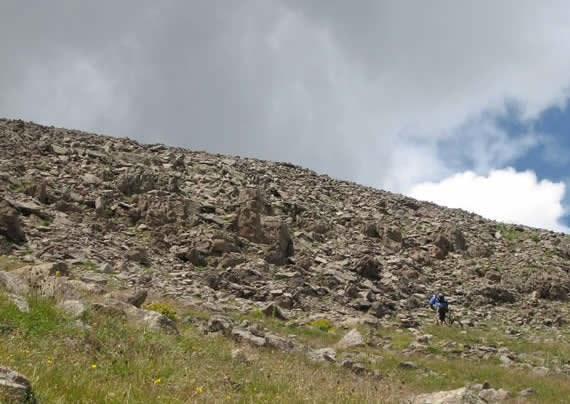
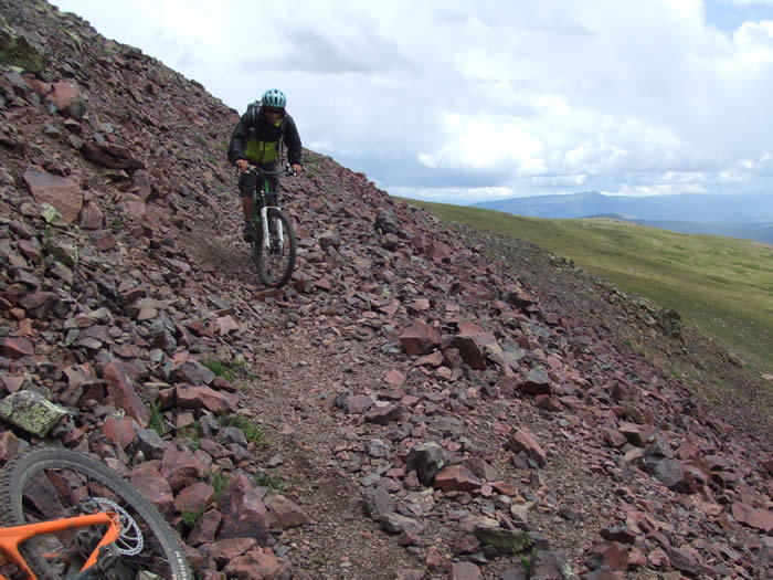
Directly ahead of us we could see what looked like a trail switchbacking steeply up the face of a rocky cliff band. We weren't sure if that was the Colorado trail, or just a side-hike to the ridge, as there was another trail that passed along the base of the cliffs to the south. But we'd soon find out.
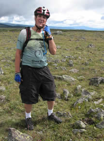
The cliff band was steep and difficult to hike. Steve had made the decision to ride flats today instead of his regular shoes, which were really bad for hiking. It was a good decision, especially for this section, which required some serious huck-a-bike (hucking the bike up on top of a rock, then climbing up, and repeating up the rocky grade. We were at 12,800, and still had quite a way to climb.
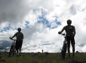
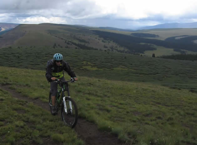
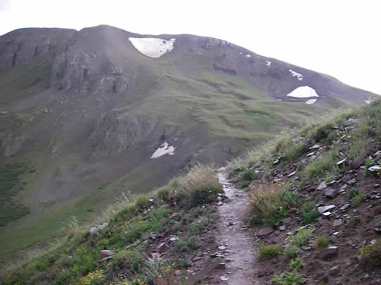
At the top, the trail continued as rideable single track, with a grade that was gentle enough to pedal, even approaching 13,000'. We hit the 13,000' mark and stopped for a few minutes to take it all in.
We continued on riding the single track across the tundra, until the trail dropped down again slightly.
We passed through another scree field, switchbacked down the face, and passed a backpacker. The only thing he said was that "it gets better and better from here to Durango" as we passed.
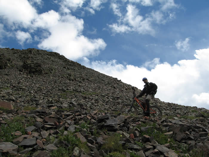
From here the trail climbed gradually up the other side of the pass. It was a loose, rocky climb, but not too steep. Steve was able to clean the whole section, all the way to the peak of the Colorado Trail at 13,300' a half mile on.

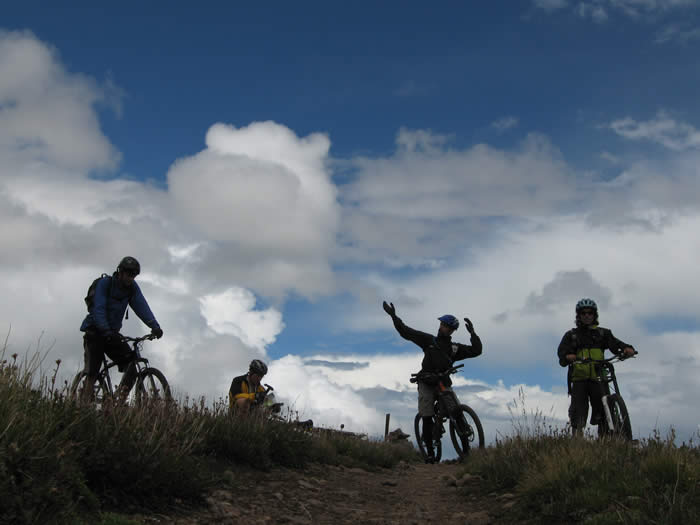
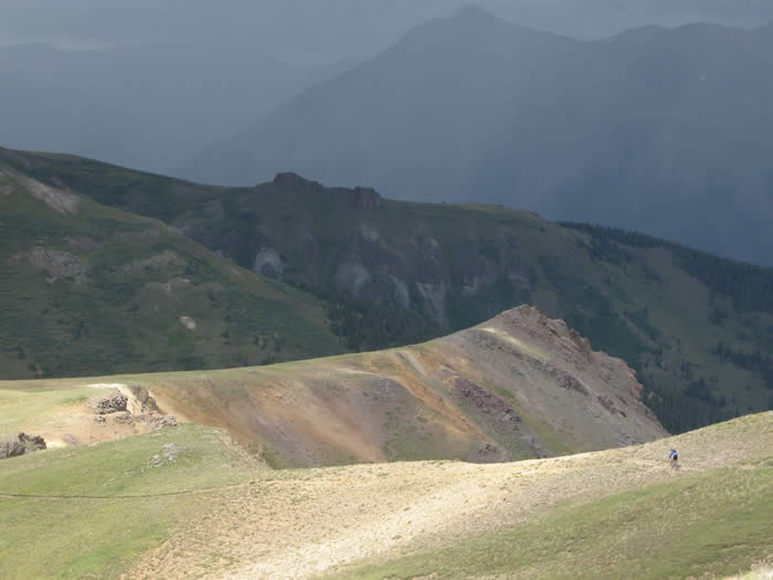
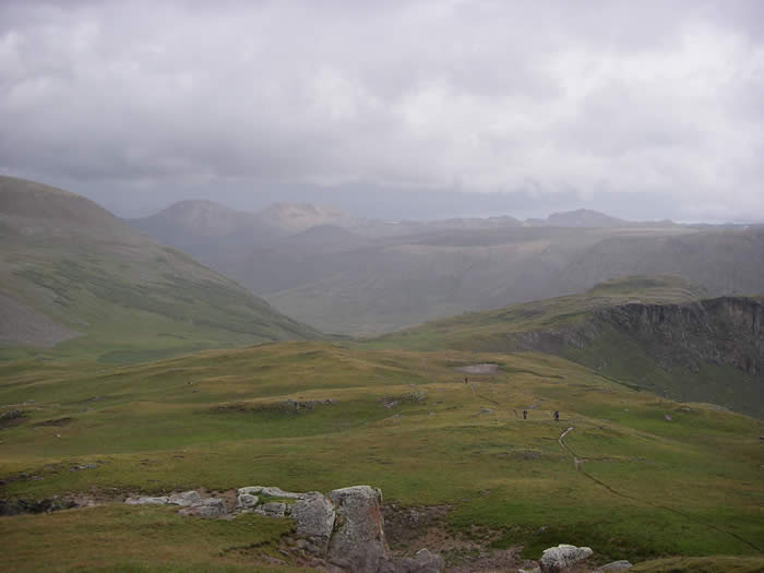
We stayed there at the top and took in the views. It wasn't like a summit as one would expect, but a vast, open tundra. There were mountain ranges visible to the south, and the clouds had been steadily thickening and greying, and blowing in from the south. The actual Coney Summit was 34' higher and about 200 yards to north, but with the rain starting again, and thunder in the distance, we didn't want to spend much time and so didn't hike the summit. It was 1:45 p.m.
We quickly headed off on the trail. It continued level for some time, and was all ridable, though rocky single track. Eventually we came to the edge of another pass, and the trail dropped down into the valley below. We were in full sunlight, but just ahead, the weather was dark and gray.
The trail down to the bottom of the valley was fast, steep and smooth and headed down into the valley below.
There were lots of motorbikes and quads riding on the jeep road at the bottom of the valley. This was the end of the segment at Carson Saddle. It was just after 2:00 p.m., and we'd been on the trail, with very few breaks for about 6 hours.
The next segment was 12 miles with only 1000' of climbing, even though it topped out at 13,000, an elevation we'd already crossed three times today. It also had more than 6 miles of descent to finish, so it seemed reasonable. Steve voiced his concerns about the weather, as there were a couple of bailout options here, but we knew this would be our only opportunity to ride this section, so we pushed on.
The segment began with about three miles of fun downhill single track.
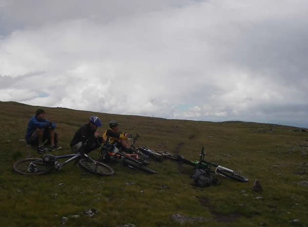
 We stopped at a small creek to get water, as we weren't sure when the next opportunity would come for water. It took a few minutes to get and treat the water, and take in some food.
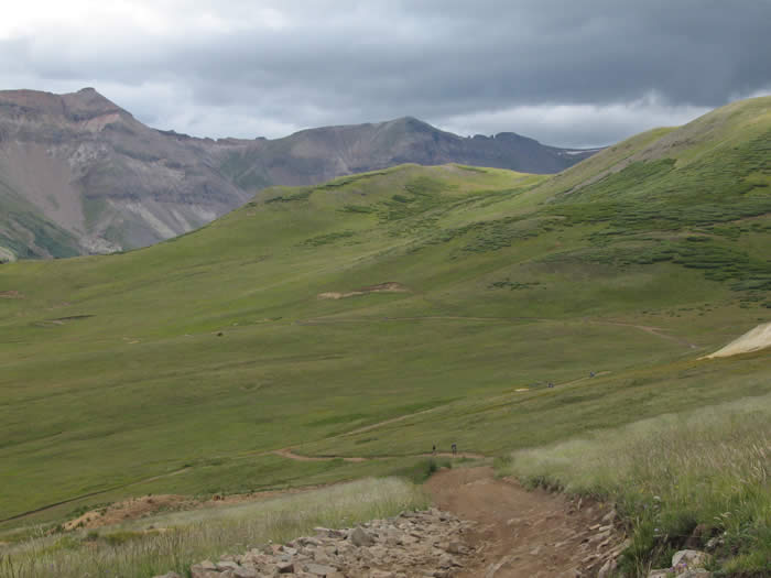
The trail continued up a spectacular valley, with patches of snow visible on the tundra, and an impressively darkening sky looming overhead. There were a few claps of thunder up ahead, that seemed to be coming from the pass ahead, but we continued on undeterred.
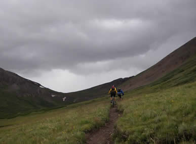
We could hear the calls of a pack of coyotes echoing up the canyon. It was a beautiful sight, and a beautiful sound. They seemed to be telling us about the impending rain.
 It started to rain as the trail turned uphill and began to climb to the end of the valley. It was pretty relentless climb, and a pretty relentless rain mixed with hail. The rain became pretty heavy and continuous. Everyone put away their cameras at this point, while Steve loaded up his waterproof camera into his shoulder pouch.
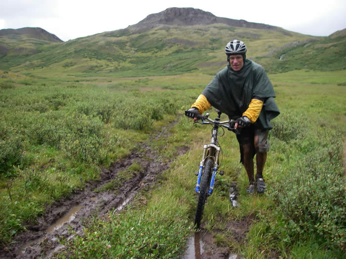
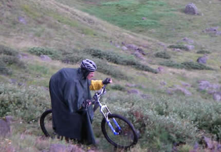 Hans put on his rain poncho and we all prepared as best we could for the weather. We thought it was a bit early for the halloween costume, but he didn't care as long as it helped him stay dry. The sky was now socked in grey, and there were no visible breaks in the rainclouds ahead.
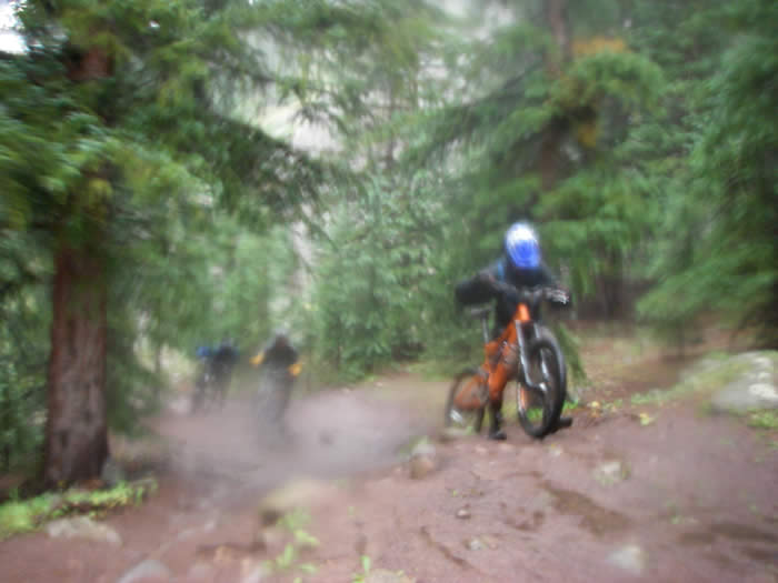
The climb was too steep and slippery to ride, and we had to hike most of this section up to the pass. There were muddy patches, and it looked as though a few motorbikes had poached this section, which was posted closed to motorbikes and quads.
After a couple of switchbacks we approached the pass, with thunder looming and the steady rain, we stopped a few hundred yards before the pass, regrouped, then headed over the top without stopping. We had passed 13,000' again, and knew the trail was all downhill from here.
We flew down the muddy single track from here, having a great time. It was a relief to have made it to here, and even though it was raining we were all feeling good about what lay ahead.
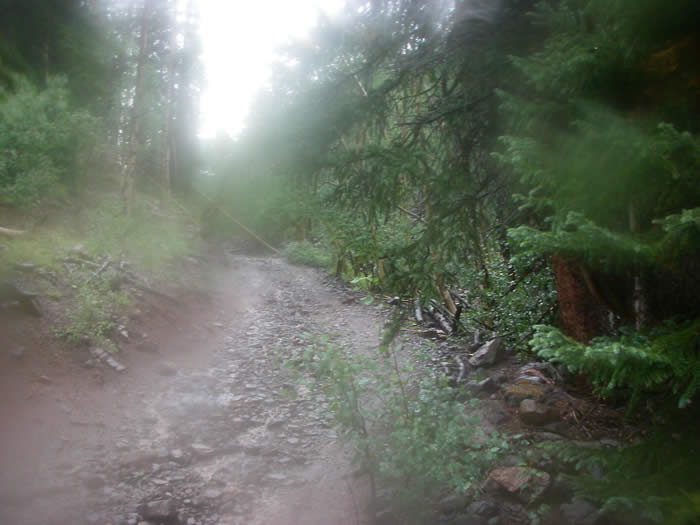
From here the trail turned down into a valley, became more of a jeep road, and got more and more muddy as we went along.
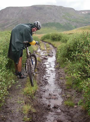
Hans thought it was the "mud otter" all over again. We had no choice but to slosh it out through the mud. There were creek crossings which would normally have been a "step over" or easily rideable, and we had to wade them knee to thigh deep, all the while thinking about flash flooding possibilities.
Much of the trail was downhill, and the water was just following the trail. We had no choice but to ride the inch deep stream down the middle of the trail, and since we were already soaking wet and covered head-to-toe in mud, we didn't care.
It was now 4:30, and we had only made it through three miles of the downhill. Our pleasurable downhill rewards had become a mission to make it to the end of this trail. The downhill had been constant mud and water, we were all beginning to experience the first stages of hypothermia, since there were no real climbs to warm us up.
Steve, riding without gloves as he usually does, had lost sensation in his fingers. Phil's brakes were fading, and so far, Hans' jury-rigged rear shock was holding up.
It was at this point that we realized how lucky we were to be riding with each other. All of us were technically skilled riders, and even though riding in Southern California had left us ill-prepared for real winter riding conditions, we were handling the mud and slop, the steep drops and creek crossings, the off-canter hillsides and now more than 8 hours on the trail, quite well. In fact, this trail was extremely fun, and just the novelty of giving in to the mud and going with it was a real pleasure.
It was a little after 5:00 when we reached the end of the trail and the end of the segment. The trail came out onto a jeep trail, and Hans' planning had estimated a four mile downhill back to the campground where Dale should have been waiting. But at the trail junction there was a sign saying "Rio Grande Reservoir, 10 miles." It was a setback, and we didn't believe it. We checked the map and checked the surrounding signs, and sure enough, Hans had been off by 6 miles. The map he'd been using is the one in the official guidebook, and again it had proven inadequate for real planning for mountain bikes.
We had no choice but to start riding. The jeep trail started out with a steep climb, which got us a little warmed up, but the rain was still coming down hard, and we were all still shivering. The jeep trail was pretty rough, and a jeep came down the trail as we were climbing.
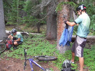
We continued on, but both Hans and Phil were having chain-suck and shifting problems from the layers of mud, so they stopped to lube their chains. We headed on and kept riding. A group of quads came by and they told us we had about nine miles to the campground, which is what we expected after seeing the sign at the trail junction. They also said it wasn't flat, it was up and down.
The jeep road was actually really technical and would have been fun to ride, had we not been freezing cold and shivering. There were steep, rocky downhill sections numerous creek and stream crossings, and some short steep climbs. We tried not to let the shivering and cold distract us from the mission at hand, making it to the rendezvous point, and the fun we were having on the trail.
After about 45 minutes and 5 miles or so on the jeep trail, we tried to radio Dale. He responded, and Hans had him leave the campground and drive up the trail towards us. He made it three miles before he reached a section that he wasn't comfortable taking Ed's truck, so he parked and waited. He'd been waiting since about 2:00 p.m.
 At 6:15 p.m., ten hours after we left Spring Creek Pass, we found Dale on the trail. We were all covered in mud and had to do our best to keep the inside of Ed's truck from getting too muddy. We headed down the dirt road for the hour and a half drive back to our campsite.
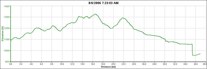
We'd covered 37 miles, had passed 13,000' four times (though our GPS's only recorded three times), had been on the trail for 10 hours with a total moving time of over 7 1/2 hours. There had been about 5100' of climbing and about 6300' of descent. It was an about as epic as epic rides get. The elevation graph gets inaccurate from about 30 miles (the end of the trail and beginning of the jeep trail), as the computers were covered in mud, and the tiny openings for the barometric sensor were probably blocked by mud. Once they cleared, the recorded elevation dropped suddenly to the correct elevation.
Soup and and a sandwich back at camp, and Hans was first to bed by 8:15 p.m. Steve stayed up to download and edit the more than 500 photos from the day, and Dale and Phil drove the half hour to Lake City for pizza.
It was still raining.
© 1994-2014 Over the Bars Mountain Bike Club. All Rights Reserved